
Cotopaxi
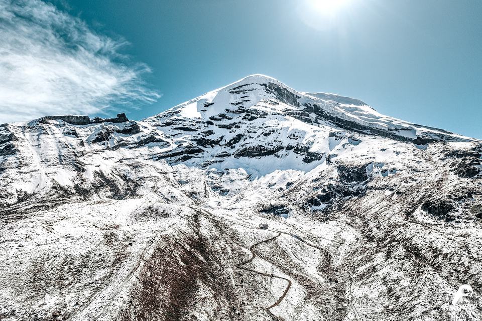
The almost perfect cone of one of the highest active volcanoes in the world, about 50 km from Quito.
Description
Cotopaxi (5897 m) is the second-highest peak in Ecuador and one of the highest active volcanoes in the world. Its almost perfect cone, covered by one of the few equatorial glaciers on the planet, dominates the landscape about 50 km south of Quito, inside Cotopaxi National Park.
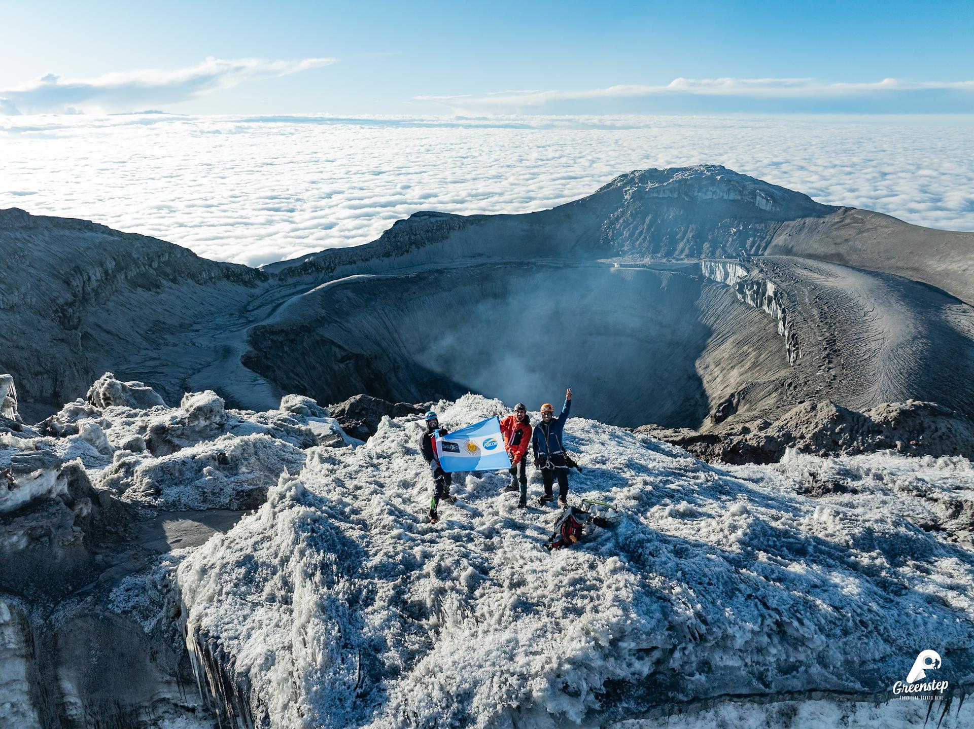
Its name, of Quichua origin, is linked to the words “neck” and “moon”, because of the shape of its crater. In 1872 the German geologist Wilhelm Reiss and Ángel Escobar were the first to reach its summit.
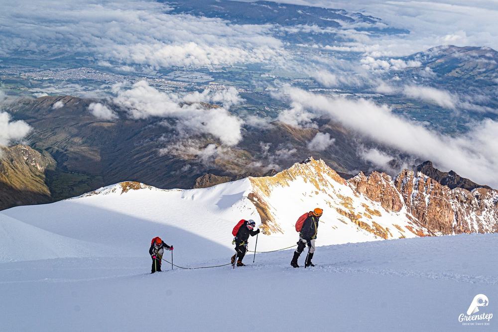
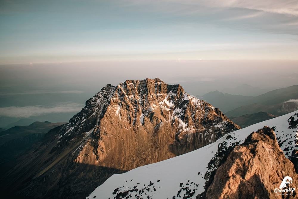
You sleep at the José Ribas refuge and set out in the early morning: the reward is the sunrise over the glacier and the crater. It demands good fitness and is excellent preparation for higher mountains, such as Chimborazo.
Want to get to know the mountain before you climb? Its name, its history, the refuge and the gear, in one guide.
Read the Cotopaxi guideWhat's included
Technical equipment provided by Greenstep
Essentials
What you need to bring.
You bring it; it is not included. Without these items the summit climb cannot take place.
Itinerary
Approximate times. Elevation gains are approximate.
Departure from Machachi
We leave Machachi for the park checkpoint and then continue to the parking lot.
Hike to the José Ribas refuge
A hike of approximately 1 hour, with about 200 m of elevation gain, to the José Ribas refuge.
Refuge: dinner, technical briefing and rest
We settle in, have dinner, attend the technical briefing and sleep.
Summit climb
Around 11 pm we begin the summit climb: about 1100 m of elevation gain from the refuge. We include hot drinks and a snack before leaving. We must reach the summit by 7:00 am at the latest.
Return to the refuge and to Machachi
Back at the refuge we have the included breakfast; then we head back to the parking lot and from there to Machachi, our starting point.