Altitude
5790 m
Ruales-Oleas-Berge refuge
4600 m
Refuge → summit
1200 m · about 6 h
First ascent
1880
Departs from
Machachi
Difficulty
7/10
Why climb it
Four reasons to climb Cayambe
01
A volcano split by the equator
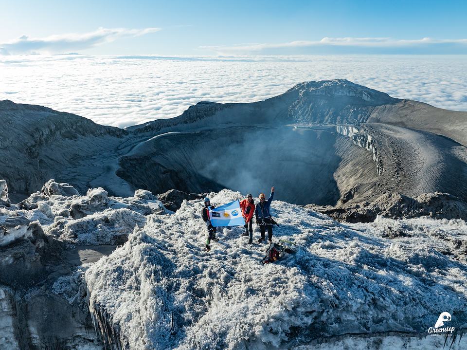
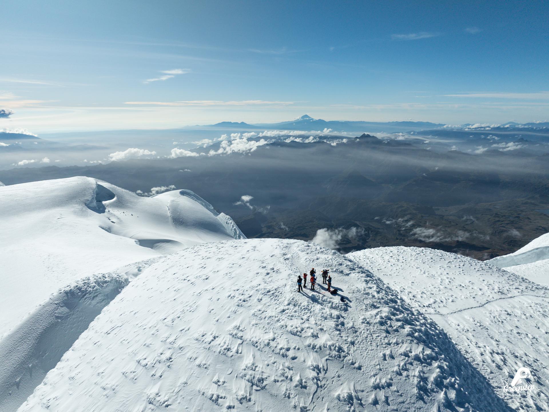
Its summit is in the Northern Hemisphere and its base in the Southern: it is the only volcano in the world on the equator.
02
Ecuador's third-highest peak
At 5790 m, only Chimborazo and Cotopaxi are higher. It lies inside the Cayambe Coca Ecological Reserve.
03
A long climb: come in good shape
About 1200 m of elevation gain from the refuge, in roughly 6 hours: a goal for those who already have a good fitness base.
04
A night at the refuge and a midnight start
You sleep at the Ruales-Oleas-Berge refuge, at 4600 m, and set out around midnight to reach the summit in the morning.
Who is it for? For those with good physical preparation and good hydration. Before departure, your professional guide gives a technical briefing.
See the expedition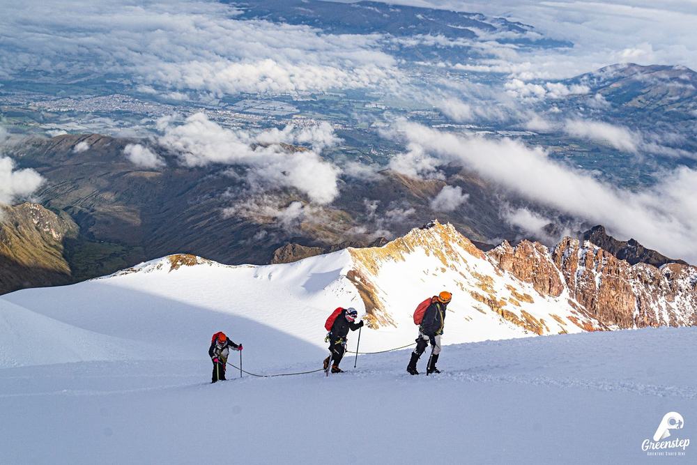
What makes it special
A mountain split by the equator
On the equator
Its summit lies about 3 km north of the Equator line, and the line crosses its southern slope, at about 4690 m.
A great ice cap
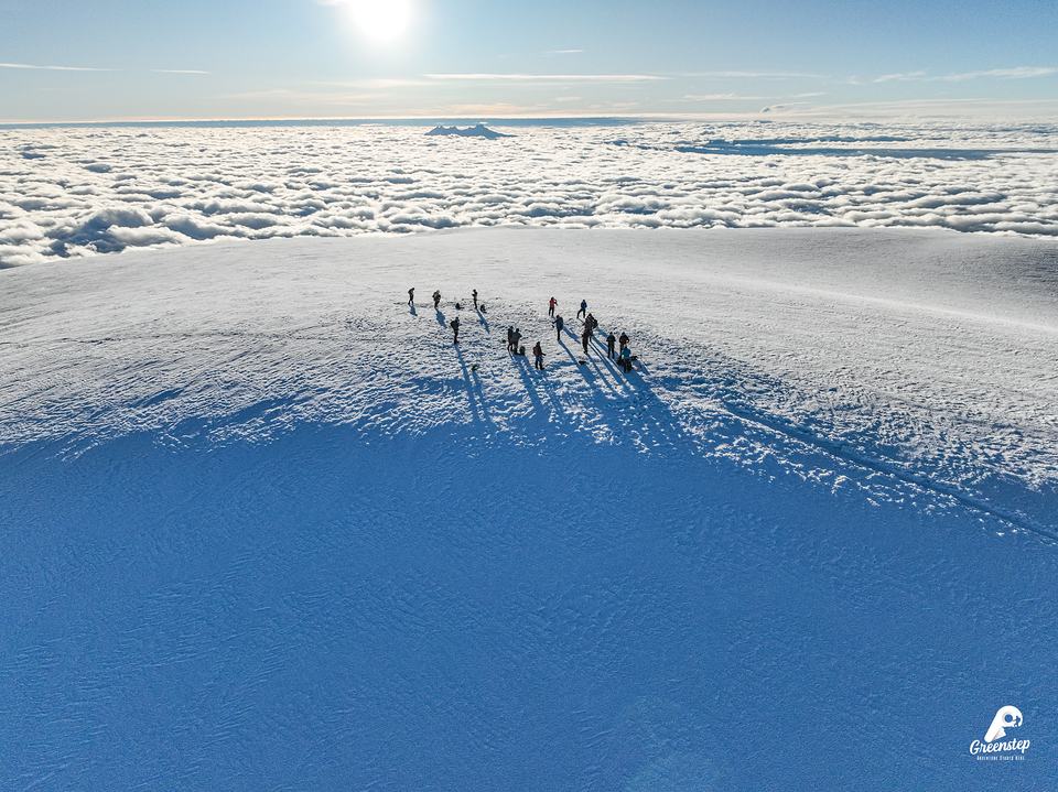
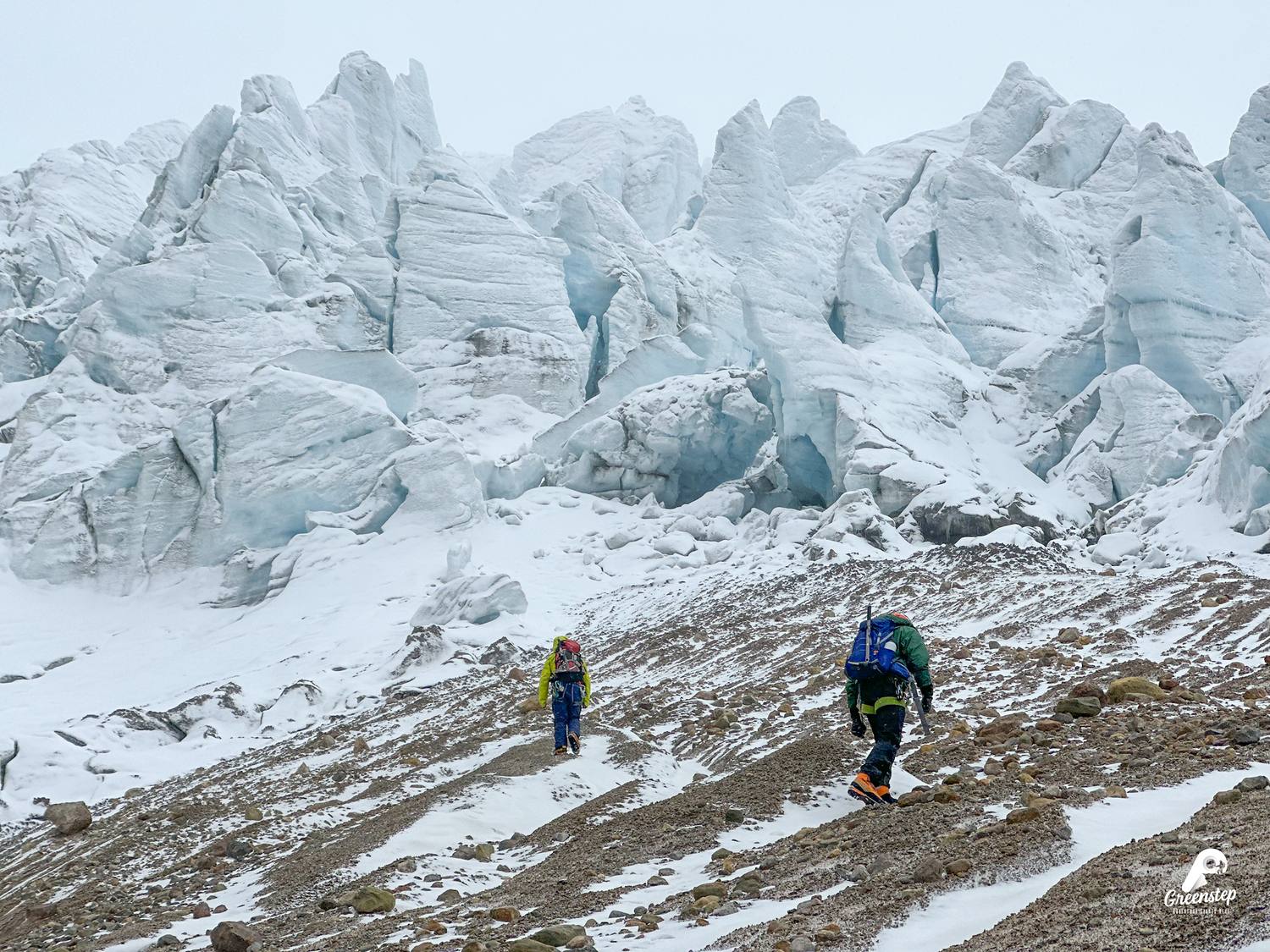
Its ice cover spans about 22 km² and it is the only point on the Equator line with snow.
A volcano with a history
Its last eruption was between 1785 and 1786. Today it is monitored by the Geophysical Institute of the Escuela Politécnica Nacional.
Inside a reserve
It lies in the Cayambe Coca Ecological Reserve, a large protected area in the north of the country.
Its name
Why is it called Cayambe?
It is a name of ancestral origin and its meaning is debated. One explanation joins two words, cay, “young”, and bi, “water” or “source of life”.
Other proposals link it with “ice” (kayan, in Caranqui) or with “high, cold place” (cajan, in Quechua). Scholars have not reached a consensus.
One of the hypotheses
Cay
young
Bi
water, source of life
First to climb it
Who climbed it first
1880
Edward Whymper, Jean-Antoine and Louis Carrel
The British mountaineer and his Italian guides make the first ascent in April 1880. They leave a camp at about 4500 m at 4:40 am and reach the summit shortly after 10 am. Whymper had already made the first ascent of the Matterhorn.
How the climb works
What summit night is like
1
Machachi → refuge
We leave Machachi for the Cayambe Coca Ecological Reserve checkpoint and continue to the Ruales-Oleas-Berge refuge, at 4600 m.
2
Dinner and rest
We settle into the refuge, have dinner (included) and rest a few hours.
3
Around midnight, the summit
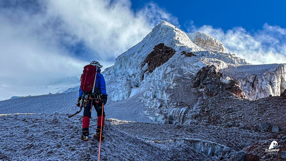
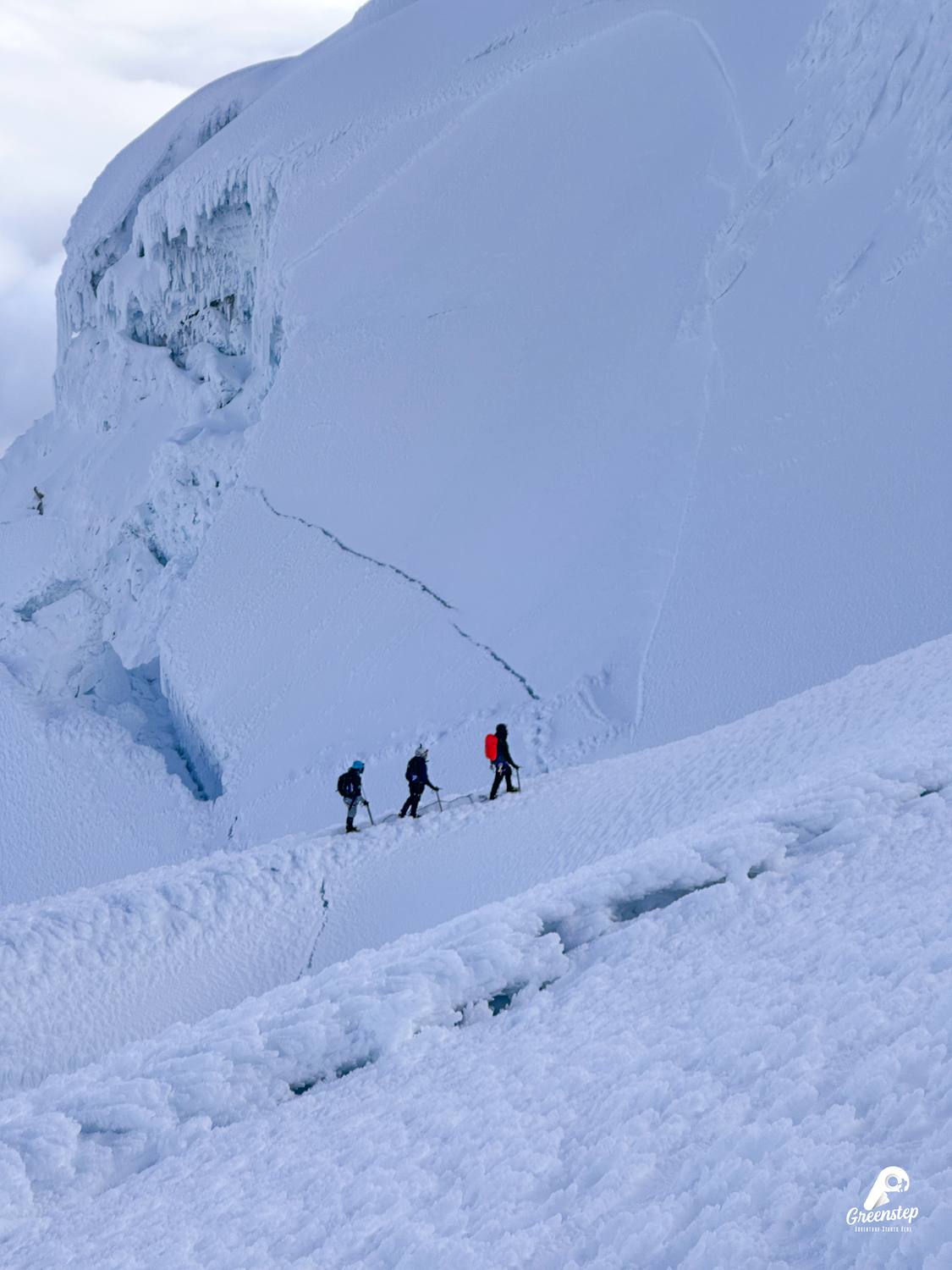
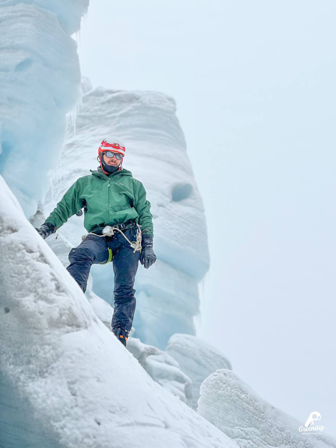
We start the climb: about 1200 m of elevation gain from the refuge, in roughly 6 hours, roped up and with crampons and ice axe.
4
Descent to the refuge
Back at the refuge we have the included breakfast.
5
Return to Machachi
We descend and go back to Machachi, our starting point.
Why at midnight?
We set out at night because the snow is firmer and the crevasses are safer. That way we come back down before the sun softens the glacier.
Gear
What you need to climb
Provided by Greenstep
Technical equipment included
- Semi-rigid high-mountain boots
- Waterproof jacket and pants
- Gaiters
- Crampons
- Harness
- Carabiner
- Gloves
- Helmet
- Headlamp (batteries not included)
- Ice axe
- Sleeping bag rated for temperatures below 0 °C
- 50 L backpack
You bring
Essentials
- Base layer (thermal Lycra)
- Mid layer (fleece or down)
- Base-layer gloves
- Double socks: one compression pair and one merino wool pair
- Summit daypack (30 L maximum)
- Hydration
- Energy bars or nuts
- Sunscreen
- UV-protection glasses
- Buff, balaclava or cap (not cotton)
- Trekking shoes Optional: you can use the high-mountain boots we already include
The essentials are what you bring; they are not included. Without these items the summit climb cannot take place.
Refuge
The Ruales-Oleas-Berge refuge
It is the base of the expedition: this is where you have dinner, rest a few hours and set out for the summit. Its name remembers three mountaineers, two Ecuadorians and a Frenchman, who died in an avalanche.
Altitude
4600 m
To the summit
1200 m · about 6 h
How you sleep
In bunk beds, in shared rooms, with dinner, breakfast and hot drinks included. We include a sleeping bag rated for temperatures below 0 °C.
To the refuge
By vehicle from Machachi: about 2 hours.
Getting there
Getting to the refuge
- Machachi, the expedition's meeting and departure point. We can also arrange transport from other cities, at an additional cost.
- Cayambe Coca Ecological Reserve checkpoint (the entry permit is included in the expedition).
- Vehicle transfer to the Ruales-Oleas-Berge refuge, at 4600 m: about 2 hours from Machachi.
- From the refuge, about 1200 m of elevation gain to the summit, at 5790 m, in about 6 hours.
Altitude profile (visual reference from 4200 m)
Summit
5790 m
+ 1200 m · about 6 h
Refuge
4600 m
You can reach the refuge by vehicle. Beyond that, the glacier demands a professional guide, equipment and experience: that is why the expedition includes both.
See the expeditionBefore you go
Best season and preparation
Best season
You can climb all year round: there is no specific season. From June to September it tends to be windier and colder.
How to prepare
Good physical preparation and good hydration. It is a long climb: good preparation is to climb another snow-capped peak first, such as Cotopaxi.
See the Cotopaxi guideFrequently asked questions
What people ask us most
How hard is it to climb Cayambe?
On our scale, 7/10. It is about 1200 m of elevation gain from the refuge, in roughly 6 hours, with crampons, ice axe and rope. It is a long climb that requires good physical fitness; before departure, the guide gives a technical briefing.
How long does the expedition last?
Two days and one night: departure from Machachi, dinner and rest at the refuge, climb from midnight, breakfast at the refuge and return to Machachi.
What is included?
Professional guide (at least 1 for every 2 participants), transport, technical equipment, accommodation at the Ruales-Oleas-Berge refuge, entry permit to the Cayambe Coca Ecological Reserve, dinner, breakfast and hot drinks.
Is it true that it crosses the equator?
Yes. The Equator line crosses its southern slope, at about 4690 m, and its summit lies about 3 km to the north, in the Northern Hemisphere.
How do you sleep at the refuge?
In bunk beds, in shared rooms. We include a sleeping bag rated for temperatures below 0 °C, plus dinner, breakfast and hot drinks.
How high is the refuge and how long does it take to get there?
At 4600 m: it is the Ruales-Oleas-Berge refuge. From Machachi it takes about 2 hours by vehicle. From there you set out for the summit, about 1200 m higher.
Next step
Ready to climb Cayambe?
A Greenstep advisor will help you on WhatsApp. They can adjust the program, dates and destination to what you need.
Other mountain guides